Authorized Sector Blueprint

Public Utilities & Underground Assets

Damage prevention and underground asset clearance verification

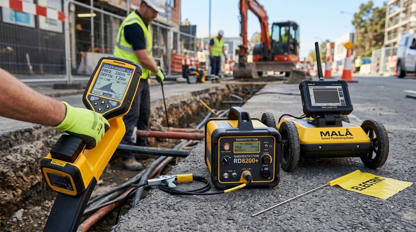
Protect power grids, telecommunications lines, water systems, and gas pipelines with electromagnetic cable locators, ground penetrating radar, and centimeter GNSS mapping.

2 Recommended Fleet Instruments
NIST / ISO 17025 Certified
Public Utilities & Underground Assets
public-utilitiesEnterprise Sector Fleet
Operational Advantages

Sector Capabilities & Engineering Standards

Real-time utility depth and electromagnetic signal verification

Engineered to satisfy stringent tender specifications and regulatory requirements.

Eliminate expensive line strikes and project stoppage

Engineered to satisfy stringent tender specifications and regulatory requirements.

Automated export into municipal GIS maps

Engineered to satisfy stringent tender specifications and regulatory requirements.

Precision Instrumentation

Recommended Fleet Hardware

Field-proven optical instruments, GNSS rovers, and laser scanning suites configured for this sector.

View All Compatible Gear
Leica GeosystemsOn Request
Radiodetection RD8200 Precision Pipe & Cable Locator

Radiodetection RD8200 Precision Pipe & Cable Locator

No compromise damage prevention locator

Industry gold-standard underground cable and pipe locator with industrial noise suppression and swing warning system.

HIGHLIGHTS:

Simultaneous depth and current readout on target line

ESTIMATED PRICINGFrom ₹4,850
Leica GeosystemsNEWOn Request

Leica GS18 T RTK GNSS Smart Antenna

The fastest, immune-to-magnetic-interference tilt-compensating GNSS

Revolutionary calibration-free tilt GNSS smart antenna. Measure points without leveling the pole, speeding up topographic stakeout and boundary surveys by over 30%.

HIGHLIGHTS:

Calibration-free IMU tilt compensation up to 30°+ tilt angle

ESTIMATED PRICINGOn Request
Turnkey Engineering Blueprints

Certified Solution Packages for this Sector

End-to-end hardware bundles with pre-configured software and SOP field workflows.

utility-mapping2 Hardware Models

Subsurface Utility Engineering & Detection

Locate, trace, and georeference buried cables and pipelines before excavation

Prevent catastrophic strikes to high-voltage lines, gas mains, and fiber optics with combined electromagnetic locators, ground penetrating radar, and high-precision GNSS mapping.

State & Institutional Tenders

Architecting Large-Scale Geospatial Fleets

We provide formal compliance sheets, NIST-traceable calibration dossiers, and volume trade-in pricing for infrastructure concessionaires and engineering consultancies.