
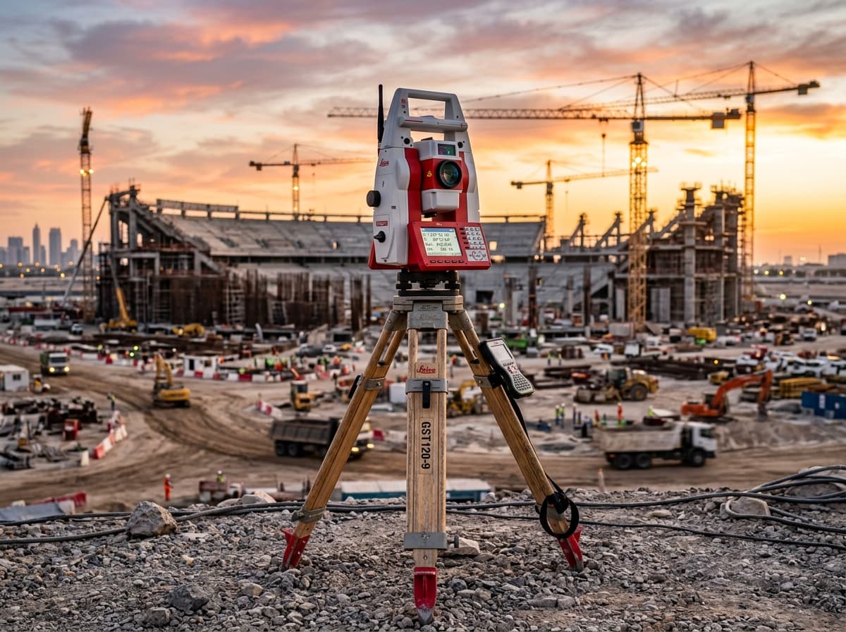
Total Stations & Optical Tooling
Robotic total stations, scanning MultiStations, manual builder instruments, and precision digital theodolites.
Self-learning ATRplus measurement workflows
High-performance automated total station powered by ATRplus target recognition. Pairs with AP20 AutoPole for tilt-compensated surveying.
Browse dedicated category landing pages for Total Stations, GNSS RTK, 3D Reality Capture, and Underground Locators.
Robotic total stations, scanning MultiStations, manual builder instruments, and precision digital theodolites.
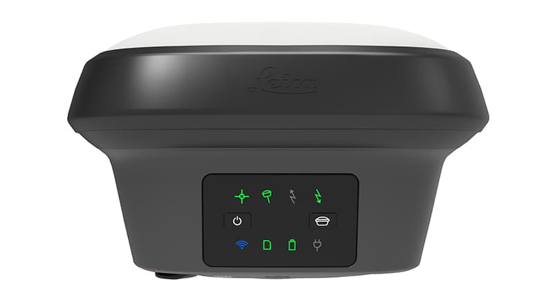
Tilt-compensating RTK rovers, base stations, and visual positioning antennas for civil construction and mapping.
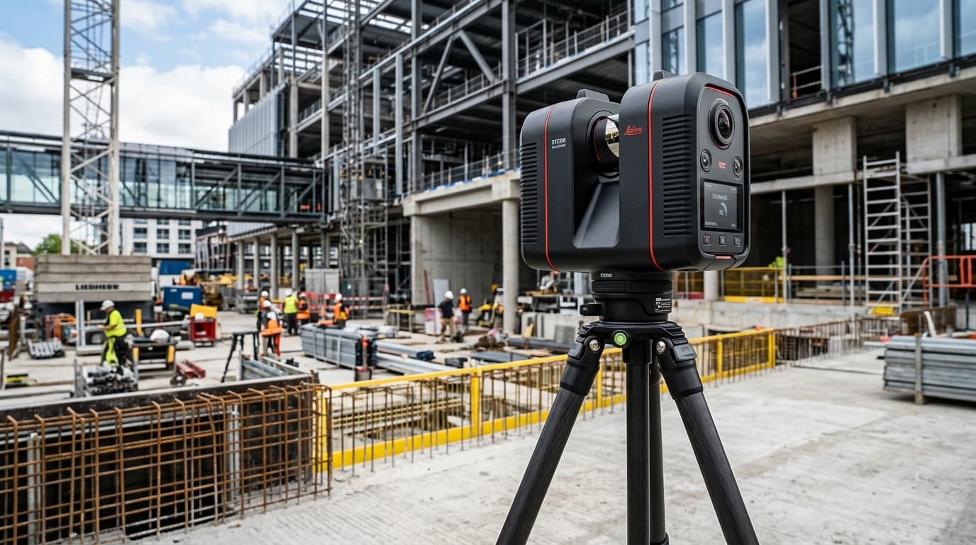
High-speed terrestrial and mobile reality capture sensors for BIM validation, digital twins, and industrial inspection.
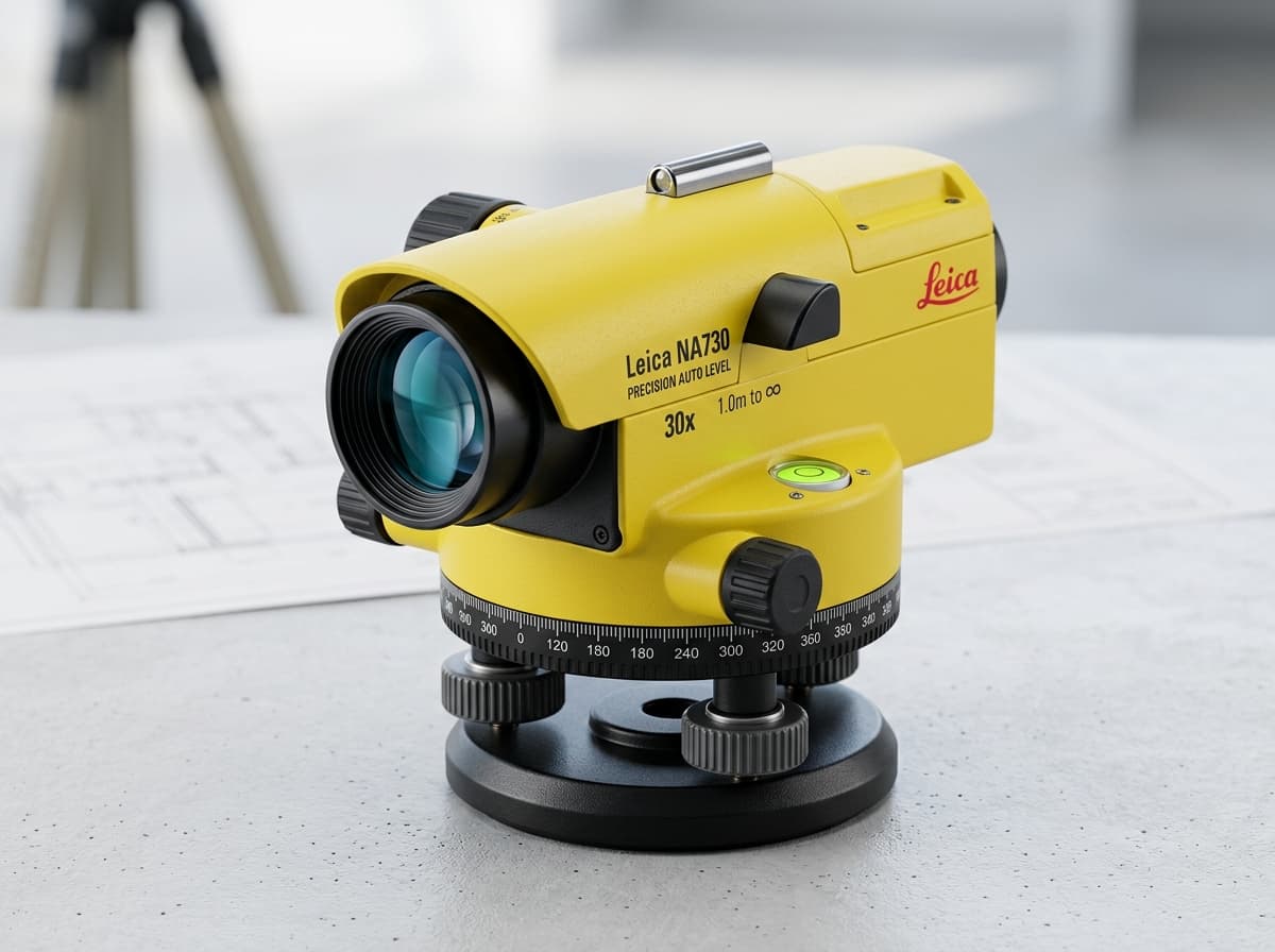
Sub-millimeter electronic digital levels and automatic optical levels for benchmark transfers and grade elevation.
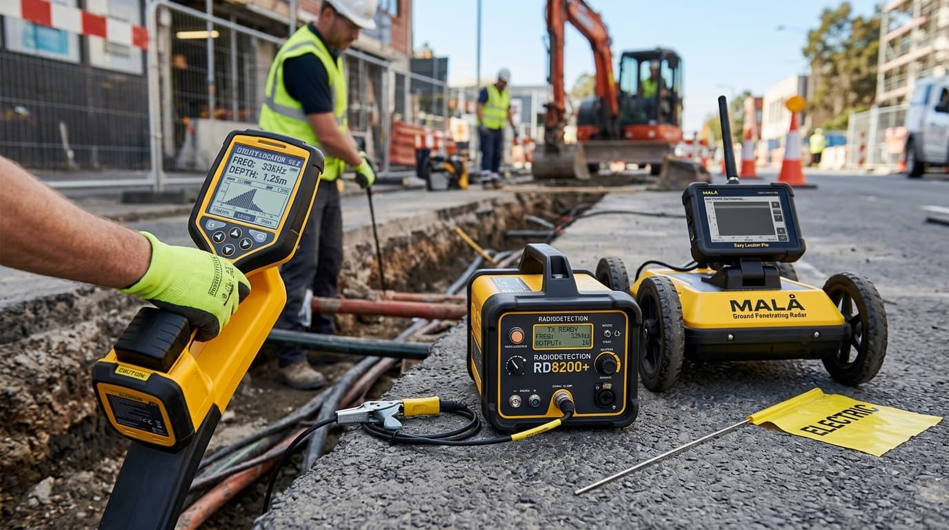
Precision electromagnetic pipe & cable locators and ground penetrating radar (GPR) to eliminate utility strike risks.
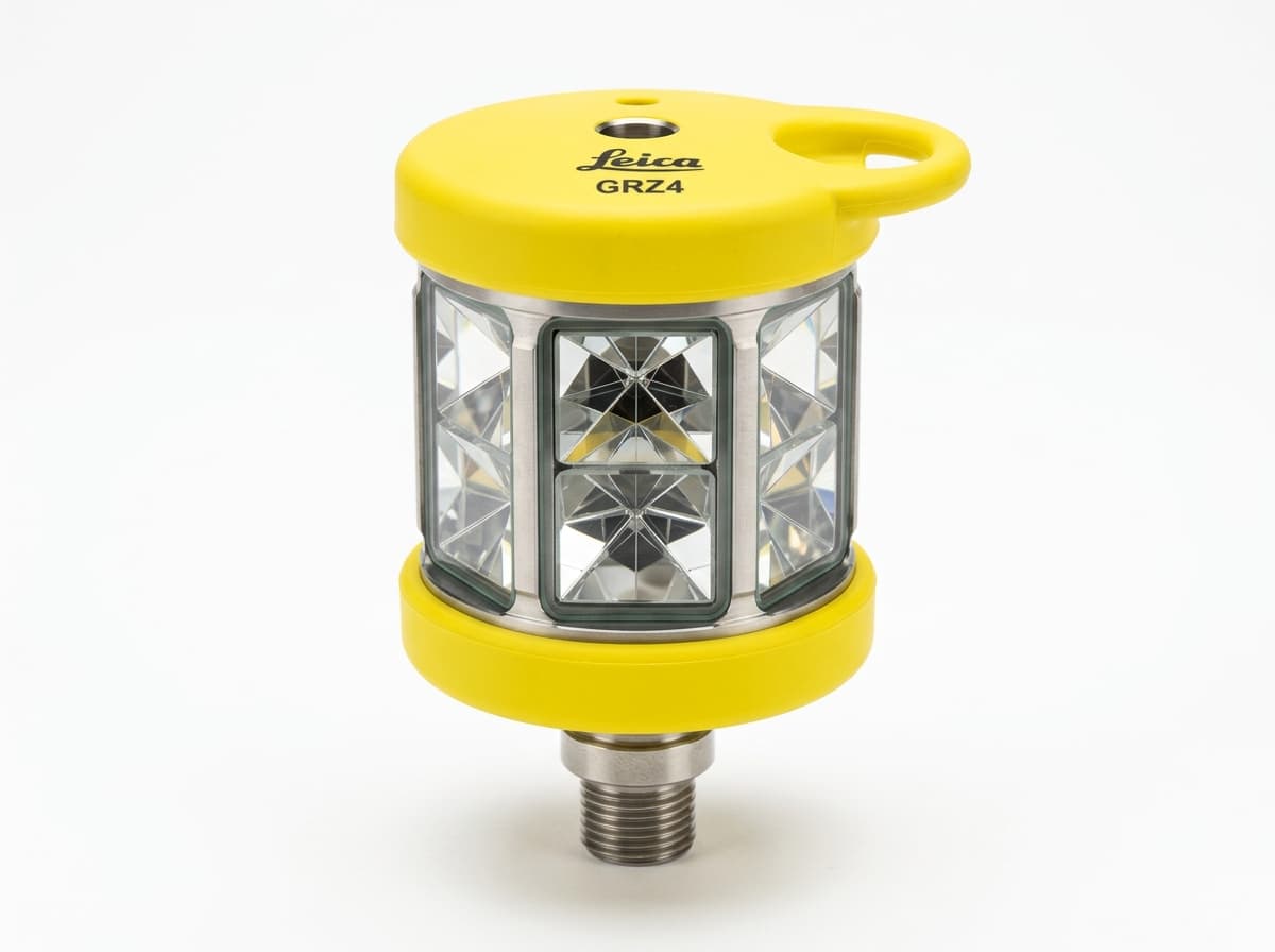
Heavy-duty wooden and fiberglass tripods, 360° precision prisms, carbon rover poles, and tribrachs.

Turnkey hardware and software workflows tailored for land surveying, highway corridors, and construction layout.

Official dealership equipment and manufacturer warranties from Leica Geosystems, GeoMax, Radiodetection, and MicroSurvey.
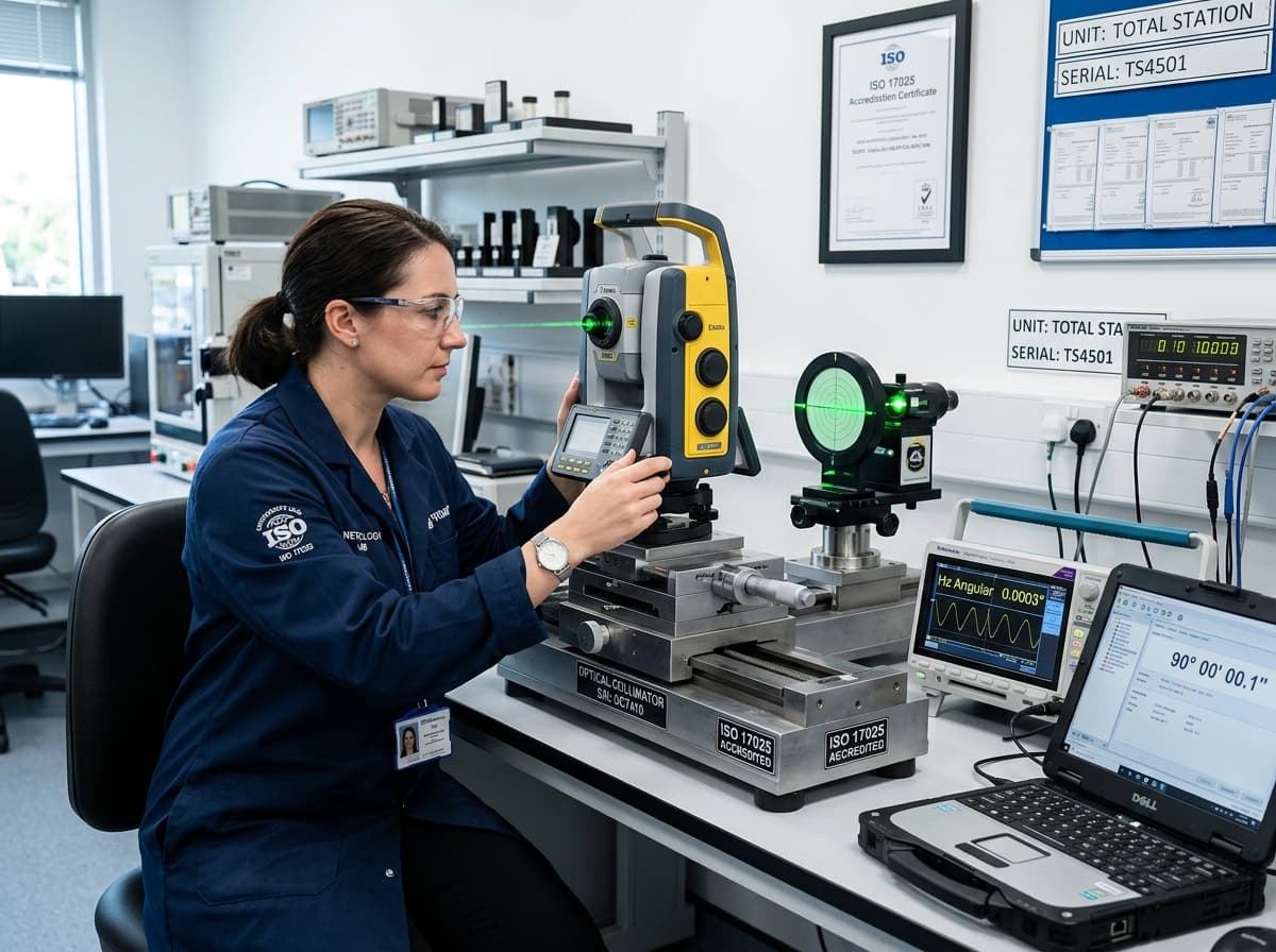
Sirsa HQ state-of-the-art calibration lab, optical collimation benches, preventative maintenance, and field repair.
82, Street-2, Friends Colony, Sirsa, Haryana. Accredited ISO/IEC 17025 testing and factory certification.