
Precision Survey Equipment
Equipment Fleet Catalog
Explore factory-certified Leica Geosystems and industrial metrology solutions with ISO/IEC 17025 calibration and nationwide field support.
Certified Instruments (25)

Sand Pouring Cylinder Apparatus
Best in the Market
Heavy-duty soil compaction and density testing sand pouring apparatus.
Calibrated Pouring Cone
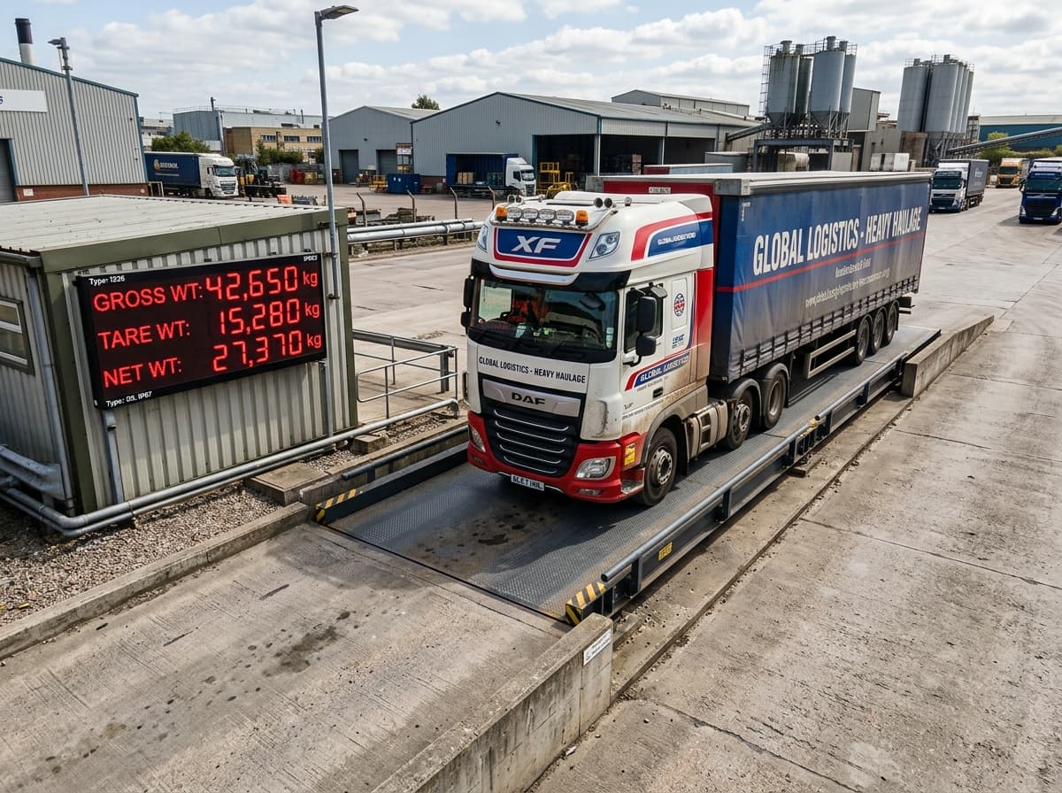
Heavy-Duty Pitless Industrial Weighbridge (Truck Scale)
Up to 100-Ton capacity precision electronic weighbridge with digital load cells
Certified industrial weighbridge with modular high-tensile steel deck, digital OIML certified stainless steel load cells, and computerized weight management terminal.
Capacities from 40 Ton to 100 Ton with 10kg division resolution
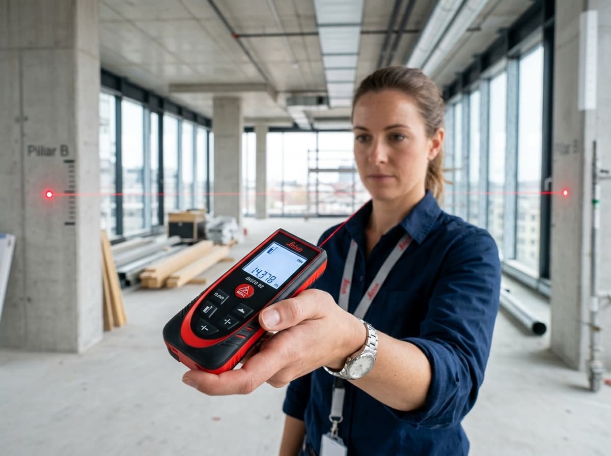
Leica DISTO D2 Laser Distance Meter
Compact 100m Bluetooth Smart Laser Measure with X-Range Power
Pocket-sized laser distance meter with 100-meter range, 1.5mm precision, illuminated 3-line display, and Bluetooth Smart CAD integration.
100m measuring range with 1.5mm precision

Leica BLK360 G2 Imaging Laser Scanner
High-speed miniaturized reality capture sensor
Capture full 360-degree reality capture scans with HDR imagery in under 20 seconds.
HDR spherical imaging with 4-camera array
Leica LS15 High-Precision Digital Level
0.2mm precision heighting with automated autofocus and digital camera
Top-tier electronic digital level engineered for geodetic height transfer, subsidence monitoring, and precision line leveling with automated staff aiming.
0.2mm standard deviation per km double run with invar staff

Leica RTC360 3D Laser Scanner
Fast, agile, precise 3D reality capture in seconds
2 million points per second scanning with HDR panoramic imaging. Visual Inertial System (VIS) tracks scanner positions in real-time for automated on-site registration.
2,000,000 pts/sec measuring rate with 1mm noise at 10m

Leica GS18 T RTK GNSS Smart Antenna
The fastest, immune-to-magnetic-interference tilt-compensating GNSS
Revolutionary calibration-free tilt GNSS smart antenna. Measure points without leveling the pole, speeding up topographic stakeout and boundary surveys by over 30%.
Calibration-free IMU tilt compensation up to 30°+ tilt angle
Leica TS16 Robotic Total Station
The self-learning total station for every surveying task
High-performance robotic total station powered by ATRplus automated target recognition. Automatically adapts to environmental conditions, locking only to your target prism.
ATRplus self-learning target tracking lock up to 1500m

Leica ScanStation P50
Long-range laser scanning for new build and retrofit
High-precision scanning for challenging structures and extensive sites.
Long-range scanning