
Leica Geosystems• Digital & Optical Auto Levels
Leica DNA03
Precise leveling for infrastructure projects
1 / 2
ISO 17025 Accredited LabCertified Calibration & Factory Tolerances
OEM Factory WarrantyAuthorized Direct Dealership
Direct Support HotlineCertified Field Application Engineers
Detailed Technical Overview & Engineering Architecture
The DNA03 streamlines leveling setups with rapid automation and dependable accuracy for infrastructure and structural monitoring work.
Core Engineering Capabilities
Auto-tracking
Stable optics
Fast calibration
Technical Specifications & Metrology Tolerances
Standard Equipment Specifications
- Manufacturer / OEM Brand
- LEICA Authorized
- Availability & Dispatch
- In Stock • Ready to ship
- Calibration & Verification
- ISO 17025 Laboratory Baseline Verified & Certified
- Warranty & OEM Support
- Official Manufacturer Warranty + Innovative Survey Solutions Lifetime Support
Frequently Asked Questions
Browse our catalog, configure your exact instrument variant (accuracy, range, package tier, or telemetry modem), and click 'Add to Quote'. When your quote list is complete, submit the RFQ form with your company details. Our technical sales engineers review your technical requirements, verify lead times and availability, and deliver a formal itemized quotation with freight and service options within 2 business hours.
Related Surveying & Geosystems Hardware
Complementary rovers, total stations, and detection units in the same domain.
Leica GeosystemsOn Request
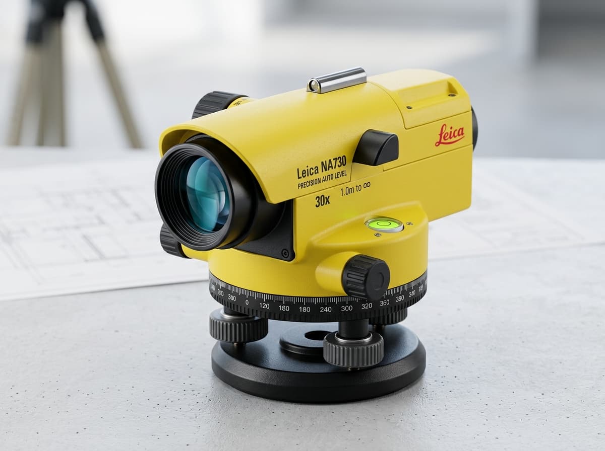
Leica NA730 Automatic Optical Level
The jobsite level that stands up to shock, water immersion, and drops
Robust 30x magnification automatic optical level with nitrogen-filled telescope, IP57 water resistance, and magnetic dampening compensator.
HIGHLIGHTS:
30x Optical magnification with superior contrast optics
ESTIMATED PRICING₹820
Leica GeosystemsNEW

Leica LS15 High-Precision Digital Level
0.2mm precision heighting with automated autofocus and digital camera
Top-tier electronic digital level engineered for geodetic height transfer, subsidence monitoring, and precision line leveling with automated staff aiming.
HIGHLIGHTS:
0.2mm standard deviation per km double run with invar staff
ESTIMATED PRICINGFrom ₹8,950