
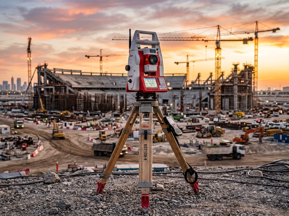
8 Models Available
Total Stations & Optical Tooling
High-precision robotic and manual total stations, scanning MultiStations, and precision optical tooling for boundary, layout, and automated monitoring.
Discover our range of high-performing robotic total stations, multi-frequency GNSS smart antennas, high-speed 3D reality capture scanners, and underground utility detection systems.
Equipped with ATRplus automated target tracking and sub-second angular precision. Seamlessly integrated with Leica Captivate onboard touch software and AP20 AutoPole tilt automation for demanding surveying environments.
Select an instrument class below to view detailed specifications, applications, and available models.
High-precision robotic and manual total stations, scanning MultiStations, and precision optical tooling for boundary, layout, and automated monitoring.
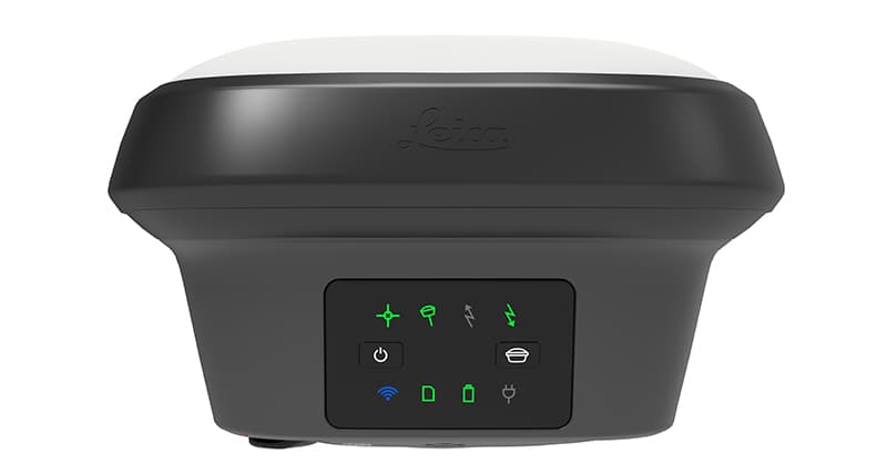
Multi-frequency GNSS smart antennas with calibration-free tilt compensation, visual positioning, and multi-constellation satellite tracking.
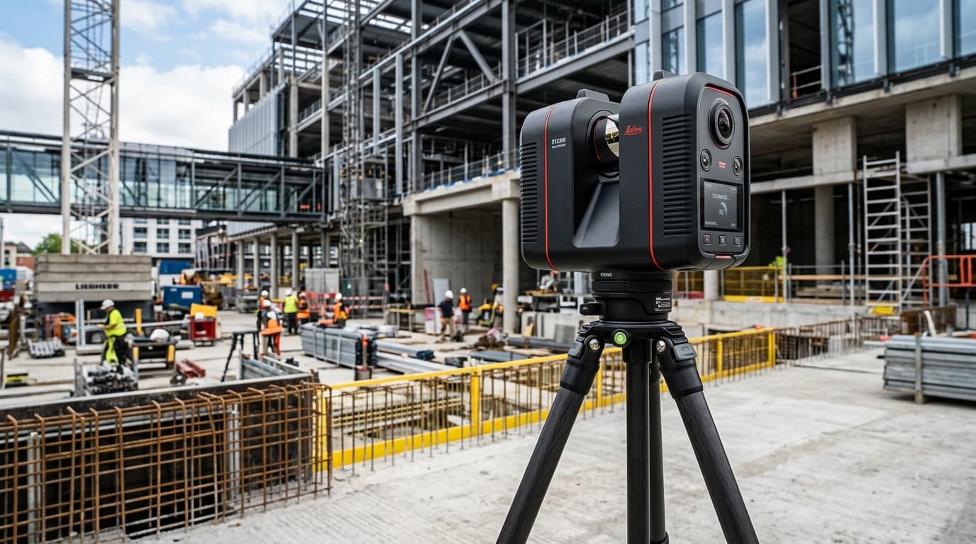
High-speed 3D terrestrial laser scanners and mobile handheld lidar sensors for digital twins, BIM verification, and reality capture.
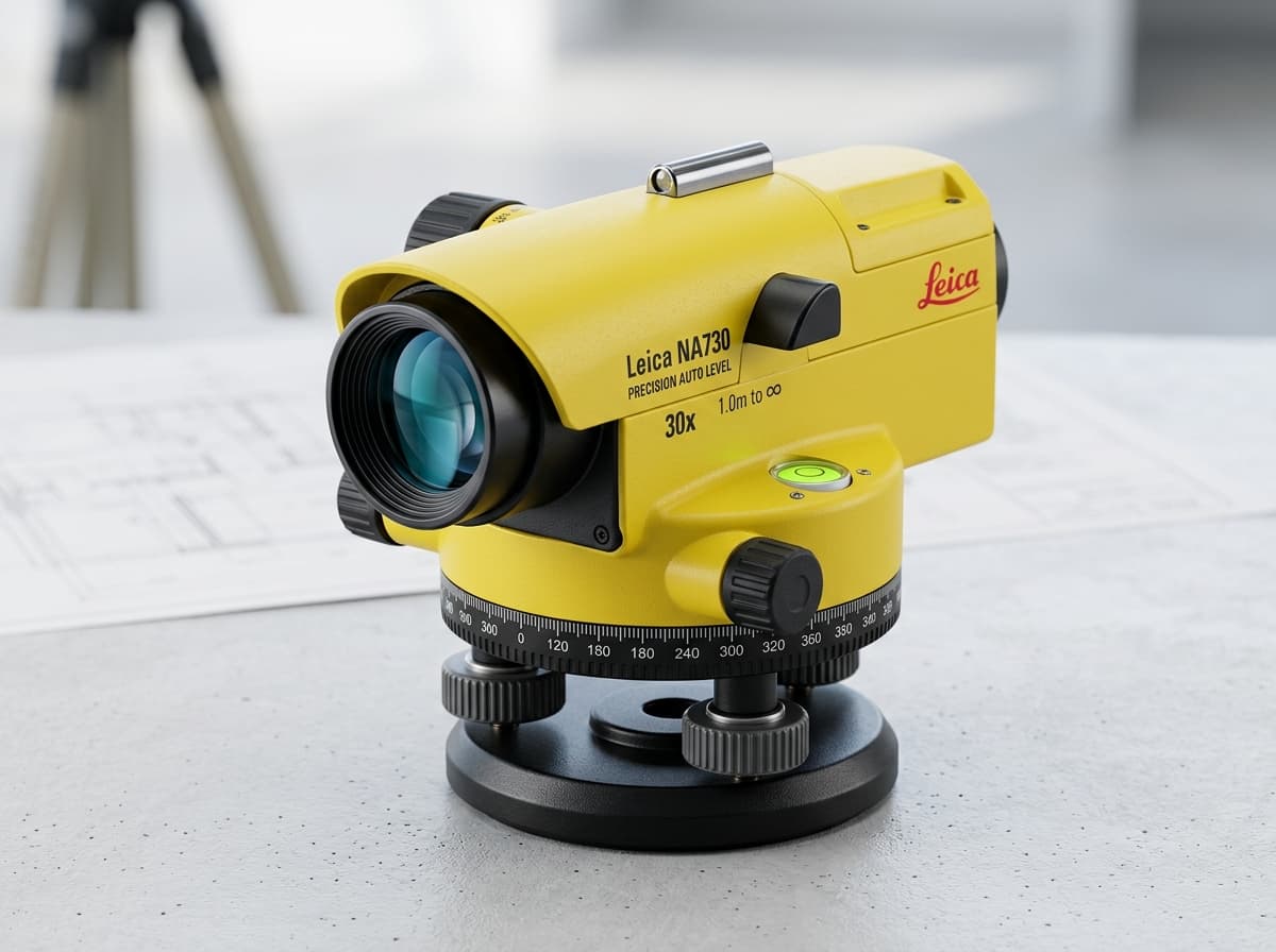
Sub-millimeter electronic digital levels and automatic builder levels for high-accuracy height transfer, bench leveling, and grade control.
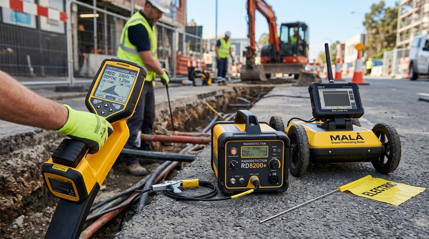
Precision electromagnetic cable & pipe locators and high-resolution GPR systems for damage prevention and subsurface utility mapping.
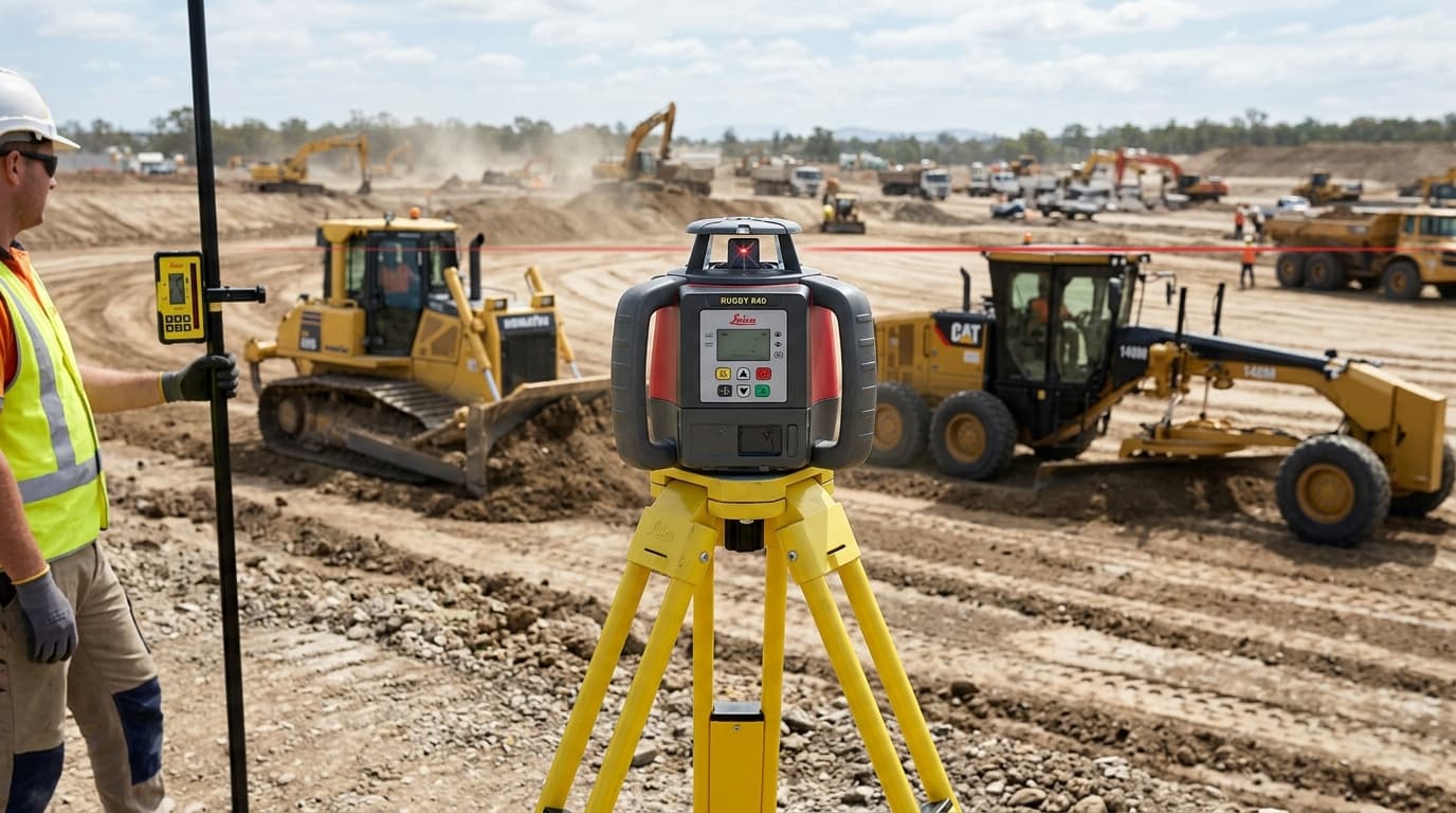
Dual-grade rotating lasers, pipe lasers, and machine guidance receivers engineered for heavy earthmoving and grading precision.
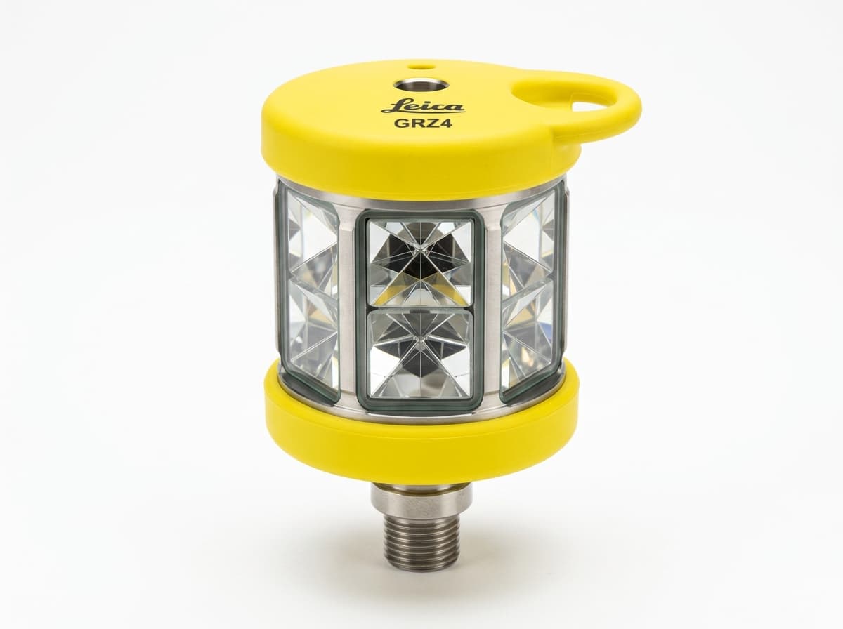
Heavy-duty wooden and fiberglass tripods, precision 360° prisms, carbon fiber rover poles, tribrachs, and rugged transport containers.
Our certified sales and field application engineers at Sirsa HQ help you match the right total station accuracy, GNSS constellation tracking, or reality capture scanner to your engineering project specifications.