Reality Capture & 3D Laser Scanners
High-speed terrestrial laser scanners and handheld reality capture systems for digital twins.
Certified factory hardware with ISO 17025 accredited calibration and warranty support.
Precision Instrumentation for Demanding Field Operations
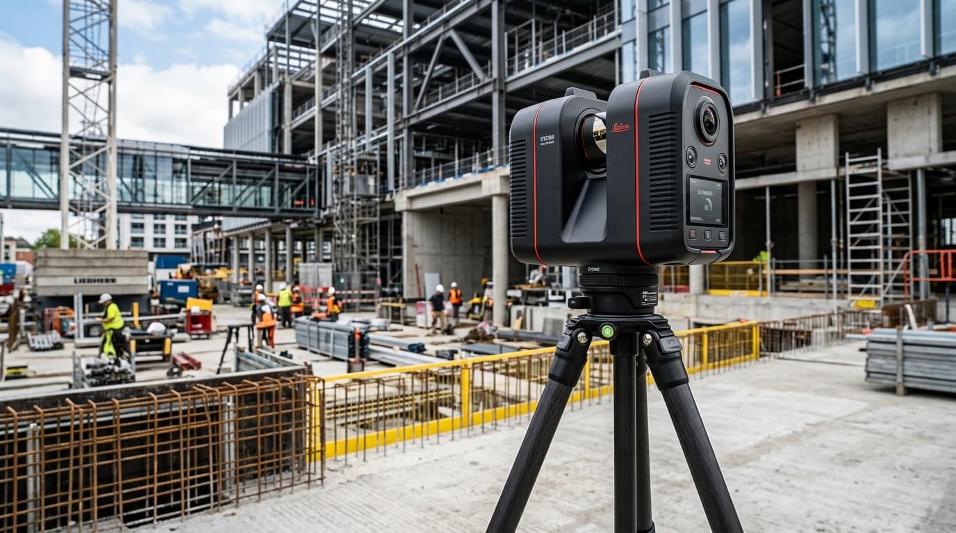
Capture complex jobsite geometry, industrial MEP plant facilities, and historical monuments at speeds up to 2 million points per second. Our 3D laser scanners combine high-resolution HDR spherical imagery with sub-millimeter ranging to create photorealistic point clouds for BIM modeling and digital twin engineering.
Integrated Visual Inertial System (VIS) technology tracks scanner position in real time between setups, enabling fully automated in-field pre-registration. Transfer data directly into Leica Cyclone FIELD 360 and Cyclone REGISTER 360 for deliverable-ready processing.
- Ultra-fast scan completion in under two minutes with 5-bracket HDR photography
- VIS automated in-field pre-registration for streamlined point cloud delivery
- High dynamic range sensor with edge-artifact suppression and automated noise cleaning
- Direct export to Autodesk Revit, Navisworks, Civil 3D, and Leica TruView
Available Models in Reality Capture & 3D Laser Scanners
Select an instrument below to configure angular accuracy, reflectorless range, and accessory bundles.

Leica BLK360 G2 Imaging Laser Scanner
High-speed miniaturized reality capture sensor
Capture full 360-degree reality capture scans with HDR imagery in under 20 seconds.
HDR spherical imaging with 4-camera array

Leica RTC360 3D Laser Scanner
Fast, agile, precise 3D reality capture in seconds
2 million points per second scanning with HDR panoramic imaging. Visual Inertial System (VIS) tracks scanner positions in real-time for automated on-site registration.
2,000,000 pts/sec measuring rate with 1mm noise at 10m

Leica ScanStation P50
Long-range laser scanning for new build and retrofit
High-precision scanning for challenging structures and extensive sites.
Long-range scanning

Leica RTC360
Rapid reality capture for BIM and as-built work
Capture complete environments in minutes with high-speed laser scanning.
High-speed scanning
Explore Related Product Categories
Seamlessly switch between complementary surveying instruments and accessories.